Nocturnal

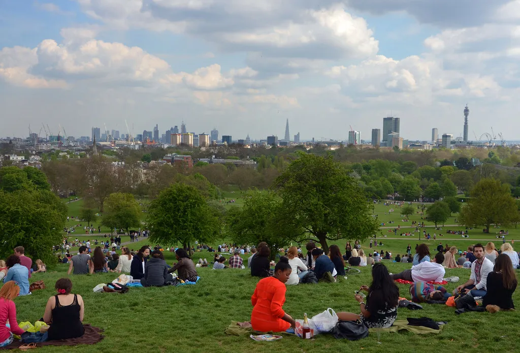
Brits are being told to make the most of it, because temperatures are expected to hit a “remarkable” 27C in parts of the UK today, before rain and winds of up to 50mph move in.
London is forecast to see the highest temperatures, with the Met Office saying the heat will feel “fairly unseasonable for many” given it’s the tail end of September.
Met Office spokesman Stephen Dixon told the Press Association that the high of 27C expected in the capital is “notable for this time of year”. The warm spell has been caused by a low-pressure system arriving from the Atlantic, which is dragging up warmer air from Europe.
Why is it so warm?
The same system responsible for the balmy weather is also the reason it won’t last. Dixon explained that the low-pressure system will “gradually move from west to east” late today and into tomorrow, turning things distinctly more autumnal.
“By later on Tuesday evening, we start to see the arrival of rain to western areas, where some western upslopes could see rainfall totals of between 20 and 30mm of rain,” he said. He added that the south west of England, parts of Wales, Northern Ireland and Scotland are likely to feel the rain first, before it spreads eastwards overnight.
Even after dark, the mercury isn’t expected to drop much. Dixon said overnight lows could sit around 19C in some places, which he described as “notable for the time of year” and potentially “a touch uncomfortable for some” given how late in September it is.
Rain, wind and big waves to follow
Tomorrow looks set to be a different story entirely, with the Met Office warning of a “fairly wet and blustery day for many” as the rain front sweeps across the country.
Forecasters say around 10mm of rain could fall widely, with more than 40mm possible in some spots. Gusty winds exceeding 50mph are also on the cards, particularly along exposed coasts in the north west, where Dixon said there’s a chance of “some very large waves” hitting western coastal areas.
Met Office Deputy Chief Forecaster Steven Keates echoed the warning, noting that the combination of strong winds and high spring tides could make conditions tricky along parts of the western coastline.
Thursday and Friday are expected to bring more mixed weather, described by the Met Office as “sunshine and showers”, before things settle down again as higher pressure builds over the weekend.
Summing up the rollercoaster few days ahead, the Met Office posted on X that the week promises “remarkable temperatures, big waves and a bit of heavy rain too”.
Where things stand now
There has reportedly been some speculation that the unsettled conditions could bring Britain’s first named storm of the autumn, but the Met Office says this is unlikely at this stage.
For now, anyone hoping to catch some late-season sun has a narrow window before the rain and wind take over. Those heading to western coasts in particular are being urged to keep an eye on the latest Met Office updates given the risk of large waves and strong gusts later in the week.